

CORPUS CHRISTI, Tx — CORPUS CHRISTI, TX- Happy Sunday!
WHAT YOU NEED TO KNOW
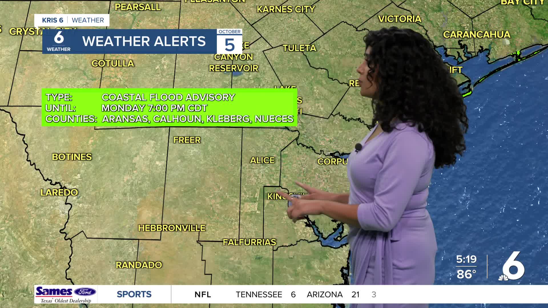
- Coastal Flood Advisory in effect
- Daily low chance of showers and storms
- Temperatures remain above normal
A combination of astronomical high tides associated with Mondays full moon will create long-period swells of 7-9 seconds, and persistent onshore to northeasterly flow will keep water levels elevated. These factors will likely bring water to the dunes, particularly during times of high tide, prolonging the need for a Coastal Flood Advisory through the next several days.
Sunday morning, some areas in the Coastal Bend received a good gulp of rainfall with Port Aransas accumulating 1.94 inches. Early this week, a weak coastal trough and slightly above normal moisture will support isolated to scattered showers and thunderstorms across South Texas. Later, weak mid-level disturbances and pockets of deeper moisture will continue to produce isolated showers near the coast, but no widespread or impactful rainfall is expected. Temperatures will remain above normal through the forecast period,
CORPUS CHRISTI FORECAST
Tonight: Mostly clear
Temperature: 72 °F
Winds: East wind 5 to 10 mph
Monday: Mostly Sunny
Temperature: 90 °F
Winds: Light and variable wind becoming east southeast 5 to 10 mph in the afternoon.
Tuesday: Mostly sunny, Slight Chance T-storms
Temperature: 90 °F
Winds: Light east wind increasing to 6 to 11 mph in the morning.
Get ready for the start of the work week1
