

CORPUS CHRISTI — The National Weather Service in Corpus Christi has issued an Excessive Heat Warning for inland Kleberg County and Jim Wells County until 6PM. This means that heat indices for those areas will max out around 115-119 degrees for several hours. The rest of the Coastal Bend, Corpus Christi included, is under a Heat Advisory. This means that heat indices will reach 110 degrees or greater for several hours. Both of these situations are dangerous, and could lead to heat stroke or heat exhaustion if you are outdoors working for several hours. Drink plenty of water and seek the shaded spots frequently to try and cool off. Be mindful of your outdoor pets too and be sure they have some shade and cool water to beat the heat.
Heat advisories and excessive heat warnings may continue throughout the rest of the week due to upper-level high pressure remaining in control of the forecast.
If there is any good news from the ridge of high pressure, it does keep tropical systems away from our coastline when it's in place. However, the entire tropical Atlantic, Caribbean and Gulf are quiet with no development expected over the next 5-days. The tropical Pacific is a different story, with a few waves conducive for development as they travel west. Also, Tropical Storm Henriette is just off the coast of Baja California, and will also move west and hopefully not be a bother to anyone.
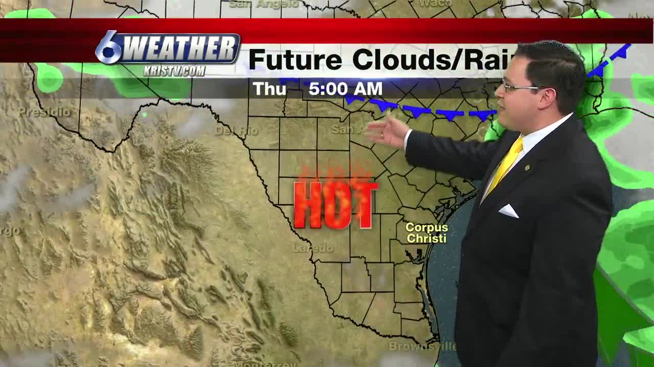
Back home, the heat, humidity and some breezy conditions will rule the forecast. The heat dome will move slightly to the west on Thursday and that will allow a weak frontal boundary to slide into Central Texas. This may draw a little bit of extra moisture into our area and we may squeeze out a stray shower, but unfortunately most of the rainfall associated with this will stay north and east of the Coastal Bend.
Tonight will be warm and steamy with overnight lows in the upper 70s. Winds: SSE 7-14
Tuesday will be another blazing hot with highs near 100 in the city of Corpus Christi with inland areas ranging from 100 to 106. Heat indices will skyrocket to the 108-118 degree range.
Stay cool!
Summary:
Tonight: A few low clouds, steamy and warm...Low: 79 Winds: SSE 7-14 MPH
Tuesday: Scorching hot and breezy…High: 99 Winds: SE 10-20 MPH
Wednesday: More stifling heat…High: 100 Winds: SSE 15-20 MPH
Thursday: Few more clouds, still blazing hot, a stray shower…High: 98 Winds: ESE 10-15 MPH
Friday: Hot, sunny and humid…High: 99 Winds: SE 10-18 MPH
Saturday: Very hot, sunny and breezy…High: 99 Winds: SSE 15-20
