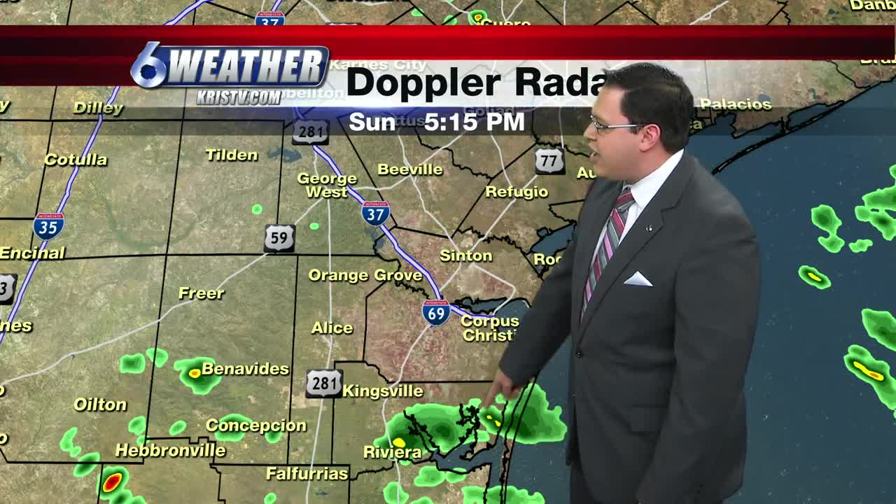


CORPUS CHRISTI, TEXAS — We had an interesting end to the weekend, for some. For a change, we saw some isolated showers and thundershowers in the region, but it was mainly confined to the eastern and coastal areas where some locations picked up around 1.5-2+ inches of some rainfall due to some slow moving storms!
Inland regions unfortunately did not participate much and those residents just had to deal with the same weather pattern of hot and dry.
Upper-level high pressure will slowly begin to build back into the region for tomorrow and through about Thursday. This is that big "heat dome" we talk about and it will surely deliver very hot temperatures beginning Monday with highs pushing 100. Heat indices will also be elevated around 108-116 degrees and heat advisories may be needed.
Winds will stay on the windy side, around 15-25 MPH out of the southeast for Monday and Tuesday before calming down some on Wednesday and through the remainder of the week. Chances of rainfall will be slim to none each day, outside of a weak sea-breeze shower that only a few people will participate in.
Afternoon highs will be a few degrees above normal, around 96-98, through the rest of week with lots of sun.
The tropics have certainly heated up! Tropical Storm Dorian is only a few hundred miles to the east of the Lesser Antilles and is forecast to stay a tropical storm as it passes Martinique and Barbados, but then increase in strength to a minimal category 1 hurricane just off the coast of the Dominican Republic by Wednesday afternoon. After that, environmental conditions are not favorable to sustain energy and a remnant low is forecast as it heads towards the Dominican Republic and Haiti by Friday.
Invest 98-L just off the Florida coast has a high chance of becoming "Erin" as a tropical storm in the next 48-hours. This system is colliding with a weak front and is forecast to move to the northeast and hopefully not be a a bother to the US mainland.
At this time, there are no systems threatening the South Texas area. Of course we are headed into the heart of hurricane season and it is never a bad idea to have a plan in place in the event a system decides to head our way.
Stay cool this week!
Summary:
Tonight: Partly cloudy, stuffy and warm...Low: 79 Winds: S 7-14 MPH
Monday: Windy, sunny and hot…High: 98 Winds: SSE 15-25 MPH
Tuesday: Windy, sunshine and very hot…High: 97 Winds: SSE 15-25 MPH
Wednesday: Less windy, mainly sunny and scorching hot…High: 99 Winds: SE 10-20 MPH
Thursday: High moves away, still hot and mainly sunny.…High: 98 Winds: SE 10-15 MPH
Friday: Not as hot, mainly sunny…High: 96 Winds: ESE 8-16 MPH
