


One student researcher at the Conrad Blucher Institute in Corpus Christi is working on a solution that could help residents prepare for the next big flood before it even begins.
Felix Fuentes, an undergraduate atmospheric science and computer science major and researcher has spent the past year developing a machine learning model that can detect compound flooding events. Floods specifically caused by a combination of factors like heavy rainfall and high tides, along Oso Creek.
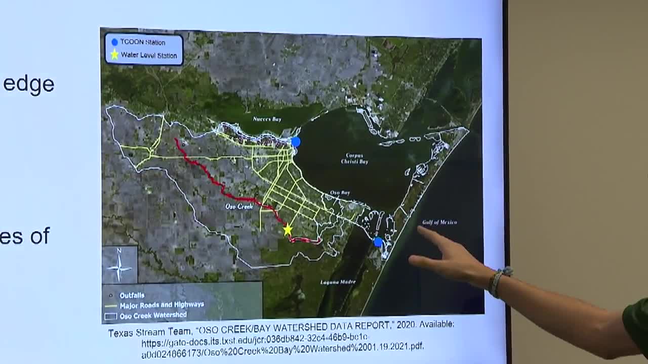
“Compound flooding is usually when there are multiple factors affecting the water level of a river or any body of water,” Fuentes said. “In specific to Oso Creek, it’s precipitation and tidal stages from the bays.”
His model pulls real-time data from a survey sensor along the creek and compares it to predicted values generated by the algorithm. The tool’s early forecasts have been promising, capable of predicting a flood event at least six hours before it occurs. Fuentes said he wants to increase that window.
“We want to increase the lead time to 12, 18, even 24 hours,” Fuentes said. “That extra time could give emergency responders and people living in flood prone neighborhoods more time to take action.”
Fuentes demonstrated the system's performance during a recent interview with Neighborhood News Reporter, Alexis Scott, showing a side-by-side comparison of actual water levels and the model’s forecast over a yearlong testing period. The results show a high level of accuracy, but also reveal the challenges of dealing with so many dynamic environmental variables. But Fuentes said the research has been rewarding.
“It’s good to know that this type of research does have real impact on people in this area in particular. We want it to be as accurate as possible and we want to give as much lead time as we can," Fuentes added.
The model isn’t live just yet, but Fuentes said he hopes to implement it for public use by spring 2026. Once operational, it could serve as a prototype for similar flood-prone areas across other coastal regions in the U.S.
For the latest local news updates, click here, or download the KRIS 6 News App.
Catch all the KRIS 6 News stories and more on our YouTube page. Subscribe today!
