

CORPUS CHRISTI, Texas — Gulf moisture has led to widespread clouds and overnight dense fog in our area. But the lack of dynamic forcing will keep our chances at significant rainfall potential away until major changes that begin Thursday.
At that time, a strong upper level disturbance destabilizes the region and threatens the region with thunderstorms through Saturday.
Meanwhile, expect overnight low clouds and fog, then another mostly cloudy but warm day on Wednesday.
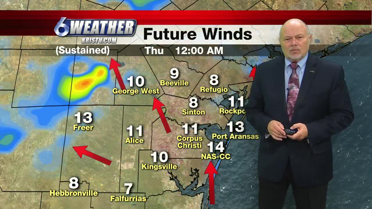
The change happens when a vigorous upper-level storm system and its associated cold front move into Central Texas late Wednesday night and early Thursday, with a round of strong to severe storms northwest of the Coastal Bend.
The front moves into the Coastal Bend late Thursday, beginning a period of frequent showers and storms that will not end until the atmosphere stabilizes late Saturday night.
We will begin next week with fair skies, mild temperatures and low humidity. Look for highs in the 80s, cooling to the 70s early next week. Lows will be from the 60s to lower 70s, dropping into the 50s early next week.
