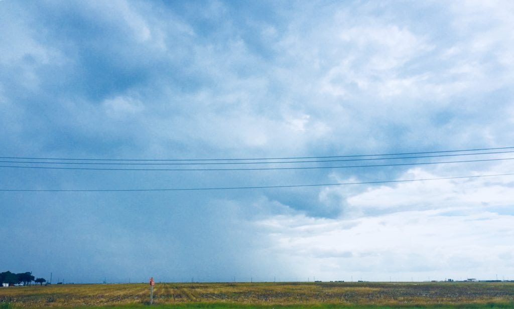
South Texas has been stuck in a rather messy weather pattern for much of the week as moisture streaming in off the Gulf and from the Pacific riding over Mexico has provided daily isolated to scattered rainfall across our viewing area.
This is going to be very slowly to change today and going into the weekend, in fact we’ll look for rainfall to begin to increase in coverage by Sunday and early next week.
A weak frontal boundary will meander across the state over the next several days and ignite more showers and storms along the boundary itself. This will start to push closer to the Coastal Bend by late Saturday and that’s when we’ll begin to see an increase in the rainfall opportunity here.
So for today we’ll keep scattered thundershowers in the forecast, not as much rain as yesterday though with highs in the upper 80s to low 90s where the sunshine breaks through and where the rain doesn’t come down.
Tonight, for Friday night football, the rain that develops will come to an end and the games should be good to go, but will be damp and muggy with temperatures in the mid to lower 80s on our way to an overnight low in the middle 70s.
Saturday isn’t looking bad, but temperatures will be hot and steamy with only isolated thundershowers in the vicinity. Highs will push the low to mid-90s.
Winds have remained relatively light, with the exception around thundershower activity, and will continue to stay that way over the next several days.
For late Saturday and into Sunday night and Monday, there could be some locally heavy rain. Residents are urged to use caution on area roads as some spots could see some localized flooding issues. We’ll monitor that chance and pass along any watches or warnings that may be issued by the National Weather Service.
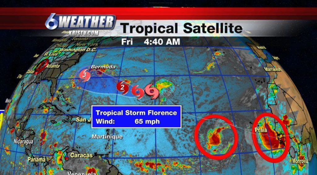
The tropics are active in the Atlantic. Florence has been downgraded to a tropical storm, but will move in a more favorable environment for strengthening in the coming days. Residents along the east coast should monitor Florence very closely. There are two more systems trailing Florence in the eastern atlantic and Helene and Isaac could be forming later today or over the weekend. No threats to South Texas.
Have a great weekend!
Summary:
Today: Mainly cloudy/scattered thundershowers…High: 88 Winds: SE 7-14 MPH
Tonight: Rain ending-Muggy and warm…Low: 76 Winds: SE 4-8
Saturday: Partly cloudy/Iso. thundershowers…High: 93 Winds: ESE 6-12 MPH
Sunday: Thundershowers increasing/overcast…High: 90 Winds: E 6-12 MPH
Monday: Numerous thundershowers, some locally heavy …High: 87 Winds: ENE 6-12 MPH
Tuesday: Partly cloudy/scattered thundershowers … High: 89 Winds: ESE 7-14 MPH
Wednesday: More sun breaking through/isolated thundershowers…High: 90 Winds: SSE 5-10 MPH