We continue to have a fairly unsettled atmosphere not only here in the Coastal Bend, but for much of Texas as copious amounts of moisture stream in off the Gulf of Mexico resulting in scattered thundershowers in the area.
Overnight a disturbance pushing through the central half of the state dropped some hefty rainfall totals around San Antonio and part of the Hill Country and flash flooding was being observed. Some of the rainfall totals were around the 5-7+ inches. All of which fell in a very short amount of time and during the overnight hours.
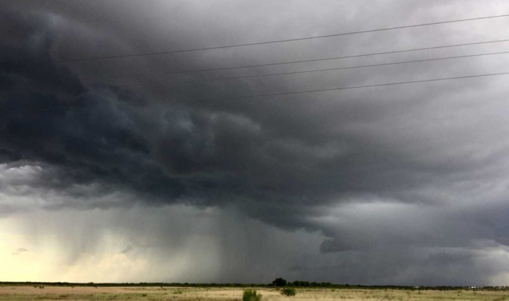
We have seen a few thundershowers inland on this Tuesday morning and more are expected to fire up this afternoon, especially as we get the heat of the day going. Highs will range in the low to mid-90s.
Tonight, rainfall should stay just north of the area and it will be a warm and stuffy night across South Texas with overnight lows in the middle to upper 70s with light and variable winds.
Scattered thundershowers will stay with us on Wednesday and Thursday as another wave of moisture comes in off the Gulf. Considering these are tropical showers, heavy downpours will be possible leading to heavy rain amounts in a short amount of time.
Tropical Storm Gordon continues to churn in the northeastern Gulf with 65mph winds. The current track from the National Hurricane Center takes Gordon to the northwest early tomorrow morning making landfall along the Louisiana/Mississippi line around Biloxi. Six to ten inches of rain will be possible, isolated amounts of 12+” will also be possible, along with dangerous storm surge and strong winds.
Here in the Coastal Bend we are far removed from Gordon and will see indirect impacts of increased swells and some increased rip current risks by Thursday. Boaters and mariners are urged to use caution on the open waters the next few days.
Summary:
Tuesday: Mostly cloudy/scattered thundershowers…High: 92 Winds: ESE 10-20 MPH
Tonight: Muggy and warm…Low: 76 Winds: Light & Variable
Wednesday: Mostly cloudy/scattered-num. thundershowers…High: 90 Winds: ENE 6-12 MPH
Thursday: Mostly cloudy/scattered thundershowers (watching tropics)…High: 93 Winds: SE 10-15 MPH
Friday: Mainly cloudy/isolated thundershowers …High: 93 Winds: SE 6-12 MPH
Saturday: Mainly cloudy/isolated thundershowers … High: 93 Winds: ESE 6-12 MPH
Sunday: More sun breaking through/isolated thundershowers…High: 94 Winds: SE 6-12 MPH